The Walking Northerners have produced a very nice guide to walking around Hebden Bridge which can be found here.
Also, there are many walking books that include our area. Here we have listed locally produced guides that we use. Guides are available from The Bookcase and Mountain Wild in Hebden Bridge, Jo’s Kitchen in Mytholmroyd and the Information Centre at Todmorden. Most of these will also be available on line at the Heart of the Pennines shop
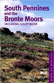 South Pennines and the Bronte Moors
This Wainwright-sized guide to the walking opportunities in the South Pennines focuses on land opened up to
walkers by the Right to Roam legislation.
The guide written by Andrew Bibby includes an introduction to the area: its landscape, history and natural history.
There are 12 free-range rambles, graded for difficulty, that allow walkers to choose their own route; a full-page 4-colour OS map for each walk; special features on points of interest chosen to add to walkers’ enjoyment of the countryside.
There is also practical information for visitors and a guide to public rights of access.
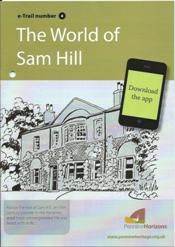 e-Trails
With these walking guides -you have the option of downloading images and spoken descriptions of the highlights of the walk which will bring alive the walk.
The printed Guide (£1.50) includes before you start as a printed Map and directions.
To download the walk get the free Pennine Horizons App at your App store. Then choose which walk you want to do and download it on to your phone. The 7 e Trails are:
- Charlestown and Jumble Hole
- Power In the Landscape – in the Colden Valley
- Cragg Vale: Mills and Wilderness, Dynasties and Traditions
- The Story of Sam Hill – Fortunes, Feuds and Scandals in the Ripponden Valley
- Hebden Bridge’s Woodland Heritage
- The Heptonstall Trail – an Ancient Village Explored
- Blackshawhead Packhorse Trail
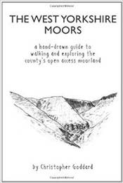 Christopher Goddard Walks
Hand-drawn well researched walking guides with wonderfully drawn sketches, buildings, rocks and maps. His guides include:
- The West Yorkshire Moors
- West Yorkshire Woodland
- Calder Woodland Way
- Ted Hughes walks
- Bramwell Bronte (Luddenden to Haworth)
- Cragg Vale
- Cragg Vale Coiners
- Hardcastle Crags
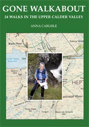 Gone Walkabout: 24 Walks in
the Calder Valley
First having appeared in the Hebden Bridge Times and Todmorden News, the twenty-four walks featured in this book by Anna Carlisle are designed to have any sedentary Calder Valley dwellers haul themselves up out of their armchairs and on to their own beautiful ‘tops’ so Close to Home.
They will also take the more serious walking enthusiast ‘Further Afield’ and onto the remotest western reaches of our county – and even into the neighbouring one.
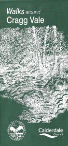 Walks around the Villages
This series of walks are produced by Friends of Calderdale Countryside.
Each leaflet centres on a village with 3 walks of different lengths and each walk has a map, detailed directions and points of valium interest. These are the leaflets for the Upper Calder Valley:
- Blackshaw
- Cragg Vale
- Hebden Bridge
- Midgley
- Mytholmroyd
- Sowerby
- Todmorden
- Walsden
Discovering Ted Hughes Yorkshire
Discovering Ted Hughes’s Yorkshire is a series of six route maps that allow walkers to encounter the Yorkshire landscapes – Mytholmroyd & the Upper Calder Valley, Mexborough and the lower valleys of the Don & Dearne, and Patrington in East Yorkshire – that formed and inspired Ted Hughes, Poet Laureate 1984–1998.
Links to the routes can be found at the Discovering Ted Hughes Yorkshire website or by clicking on the links below: